This section contains photos taken of scenery and plants from Laguna Chapala to El Rosario, BC. On this page, you will see photos of the areas we visited and get an idea of the scenery and habitats. Except for a few comparison shots, all were taken May 5-8, 2010 on the same trip that includes Bahía Asunción.
To go directly to the plant photos, organized by family, start here.
Click on any photo for a larger image.
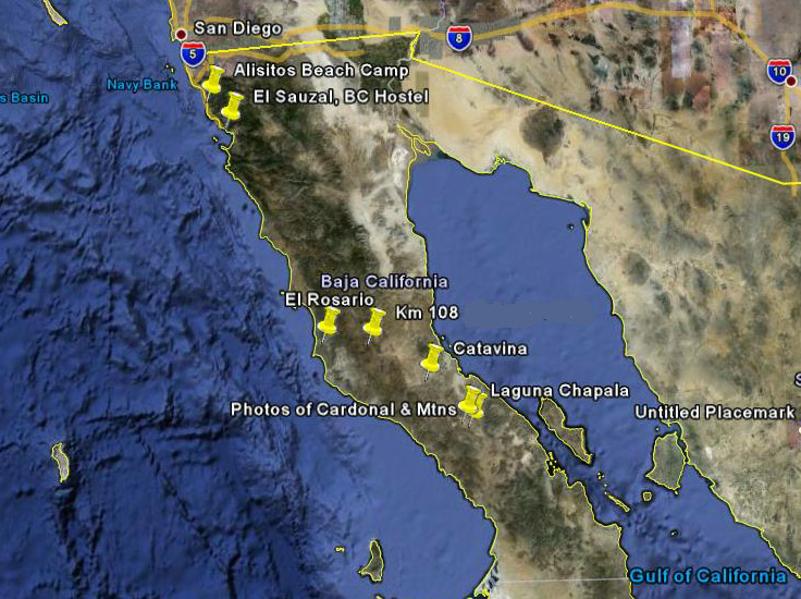
Photo credit: Google, INEGI. Map. Accessed 4/2013
Spring was very wet in the northern part of the Vizcaíno Desert, the Valle de los Cirios and as far north as the US border. By the time we passed through, the desert was the greenest that we´d seen it for many years during early May. The hills were alive with the colors of Spring: yellows, oranges, pinks, purples, and blues. We camped at Rancho Santa Inés just south of Cataviña and stopped along the highway in three different spots. See the map and the individual sections below.
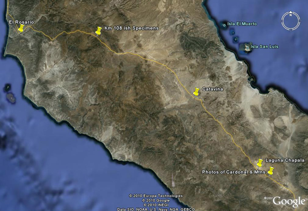
Laguna Chapala

Just south of Laguna Chapala, there is a low mountain pass. On each side of the highway, the hillsides are strewn with large granite boulders. Among the boulders are many specimens of Pachycormus discolor, or Elephant Tree (Copalquín). The trees in the foreground of this photo which appear to have brown or orange leaves are actually sporting a dense cover of Dodder (Cuscuta veatchii), a parasitic vine. Dodder lacks chlorophyll, which usually gives plants its green color, and so must tap into the host plant for nutritional needs.


The bright green trees in the foreground are Mesquite (Prosopis glandulosa var. torreyana. The tall, columnar cacti are Cardón (Pachycereus pringlei).Chainlink cholla (Cylindropuntia cholla) are bluish-green cacti in the foreground. Cirio (Fouquieria columnaris) and Ocotillo (F. spendens) mostly have leaves that are turning yellow. Bahiopsis laciniata and Encelia spp. form round yellow-orange mounds on hillsides.

The photo on the left is of the bottom of a dry, vernal pool alongside the highway. The photo on the right is of Laguna Chapala, which still had a great deal of water in early May, probably the most we had ever seen in it
at this time of the year since 1990.
Laguna Seca
Laguna Seca, north of Laguna Chapala, and south of Cataviña, is a small "playa" that is usually dry. Occasionally, we´ve seen it at this time of the year with puddles just near the highway. However, this year, water was still present out in the distance (near the base of the hills, left side of photos).

Cattle can be seen grazing in the distance. Much of the playa was very dry already, but there were still many plant species in flower or with fruit.

There were acres of annuals in the Sunflower family (right).


These included Layia (Layia platyglossa var. campestris) and Goldfields (Lasthenia gracilis).
Cataviña area
Two days were hardly enough to document all of the plants in flower or fruit. The blazing sun and clouds of bobos (tiny flies) certainly didn´t make it easy to concentrate fully on the natural wonders we encountered.

Cataviña area in November 2009...

The hillsides have the appearance of manicured rock gardens (left). ...see more Cataviña scenery
Km 110 to Km 108 south of El Rosario to El Rosario

South of El Rosario, February 2006...


The photos above (left & right) were taken across the highway very near the same location in May 2010.

...and in May 2010.

Distant hills (right) show their green.

...and close-by area in May 2010. Note the pink ground.
We stopped along the highway around Km 108 south of El Rosario. There was a great deal of plants in bloom. The Cardons were flowering and the Cirios and Ocotillo were densely covered with leaves.
<<<<<
This is the area in May 2008.
More scenery photos south of El Rosario
Go to main page for plants found in these locations.

The pink ground cover is Chorizanthe fimbriata, Spineflower. For miles, the open hillsides between the larger shrubs & cacti were rosy.